
Aerial Survey
Welcome to Aerial based Solutions
Where cutting-edge drone technology meets unparalleled support across multiple sectors. As an emerging technology support provider, we take pride in our ability to successfully apply UAVs/Drones, Customized Automation Solutions, and GIS (Geographic Information System) Solutions to conquer diverse challenges. Our passion for innovation drives us to develop comprehensive enterprise solutions that empower you to soar above the competition.
Empowering Industries: Aerial Survey Solutions for Diverse Sectors
At Aerial Survey Solutions, we cater to a diverse range of industries, providing valuable insights, enhanced efficiency, and data-driven decisions. From solar farms to power facilities, oil and gas sites to agriculture fields, our comprehensive solutions empower businesses to overcome challenges and unlock new opportunities in their respective fields.
Our Offerings
















Frequently asked questions
What is an aerial survey?
An aerial survey involves using drones and advanced technology to capture detailed imagery and data from above the ground. It provides a bird's-eye view of landscapes and structures, allowing for comprehensive analysis and insights.
What industries can benefit from aerial survey solutions?
Aerial survey solutions have applications across various industries, including agriculture, energy, infrastructure, construction, environmental studies, and more. They offer valuable insights for site assessment, monitoring, and decision-making.
How does aerial surveying work?
Aerial surveying utilizes drones equipped with cameras, sensors, and GPS technology to capture high-resolution images and data. The collected information is then processed and analyzed to create maps, 3D models, and other valuable visualizations.
What are the advantages of aerial survey services?
Aerial survey services provide numerous benefits, including rapid data collection, accurate topographical mapping, efficient site inspections, enhanced safety by reducing the need for personnel in hazardous areas, and data-driven decision-making.
Can aerial survey solutions be customized for specific needs?
Yes, aerial survey solutions can be tailored to meet specific project requirements. Whether it's assessing crop health, monitoring infrastructure, conducting environmental studies, or any other application, the technology can be adapted accordingly.
Are the aerial survey results accurate?
Yes, aerial survey technology produces accurate and high-resolution data. The use of advanced sensors, GPS technology, and data processing techniques ensures that the collected information is reliable and valuable for analysis.
What kind of data can be collected through aerial surveys?
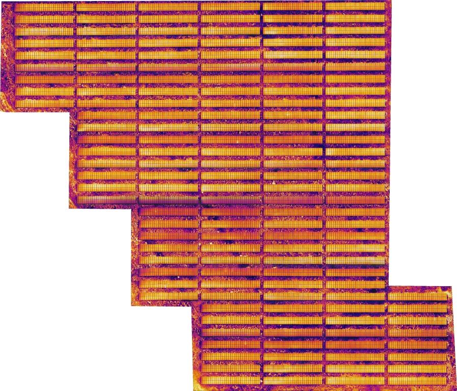
Aerial surveys can capture various types of data, including imagery, topographical maps, 3D models, thermal imagery, and multispectral data. This diverse range of information enables detailed analysis and informed decision-making.
Join Us on the Journey of Success
Forge ahead with confidence and partner with Aerial Survey Solutions to unlock new possibilities. Embrace the heights of innovation, and together, we will soar to a safer, smarter, and more sustainable future. Contact us today and experience the world from a new perspective!
Get Started